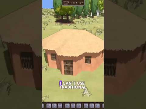
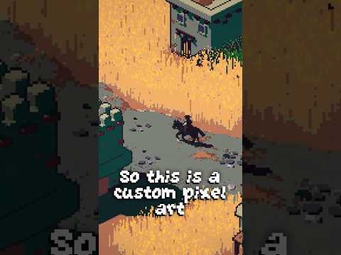
last year0:39last yearWhy I Made 55 Unique Hay Roof Tiles For My Game #gamedev #gamedevelopment #indiegame #indiedev
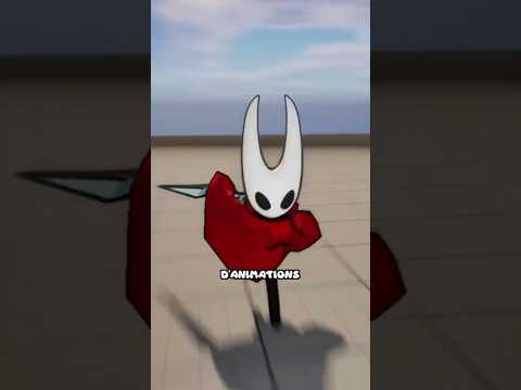
3 months ago0:323 months agoJe RECODE SILKSONG en 3D ! #silksong #hollowknightsilksong #3d #unrealengine